CAPTURE. MODEL. OPTIMIZE.
Data Center 3D Scanning
& Scan-to-BIM
Services
Capture existing data centres with engineering-grade long-range LiDAR technology for Scan-to-BIM, Digital Twins, Facility Documentation, Retrofit Engineering, Capacity Planning and MEP Coordination.
Multiple Data Center
Projects Delivered
Leica RTC360 & FARO
Focus Specialists

Pan India Reality
Capture Services
±2 mm Millimeter-
Level Accuracy

Autodesk Revit
BIM Expert
Featured Project
Recent Data Center Scan-to-BIM Project
Complete LiDAR Scanning & BIM Modelling of a Live Data Center
- Live Facility
- No Downtime
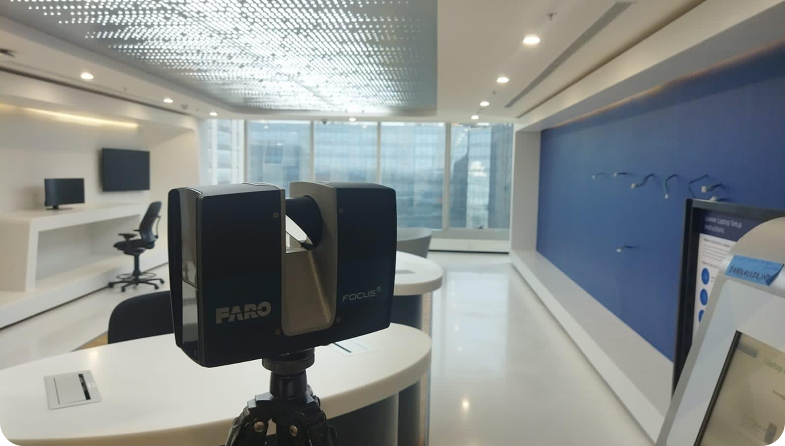
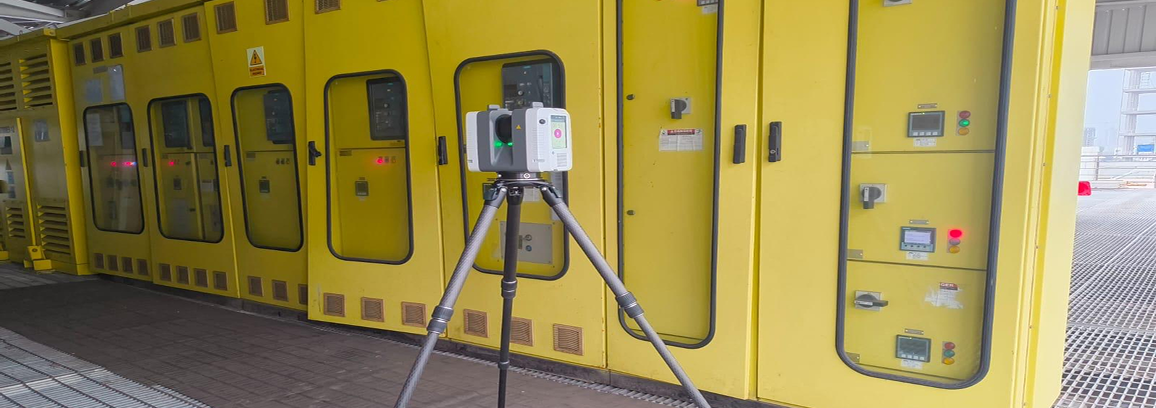
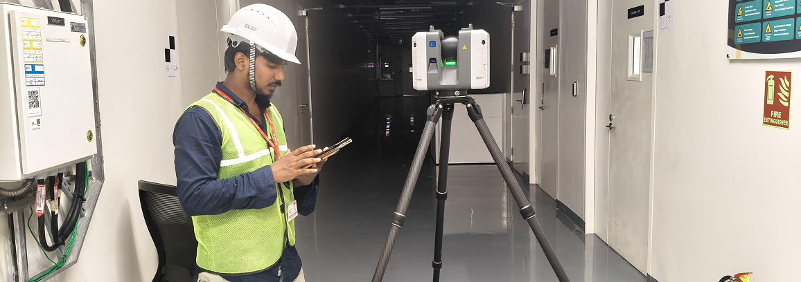
- Leica RTC360 Survey
- Engineering Grade Point Cloud
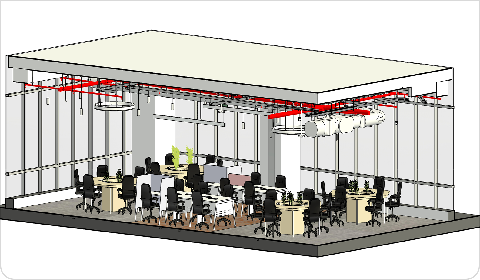
- Complete BIM Model
- MEP Documentation
- Cable Tray Documentation
- Digital Twin
- Asset Register
- Facility Expansion Support
Trusted by mission-critical facility owners for retrofit engineering, capacity planning and digital transformation.
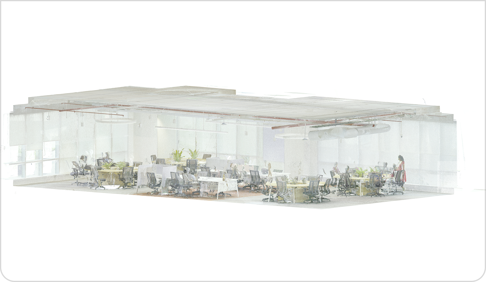
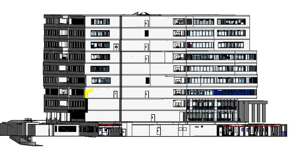
Raw Point Cloud
Registered Point Cloud
Autodesk Revit BIM Model
Why Data Centers
Need LiDAR
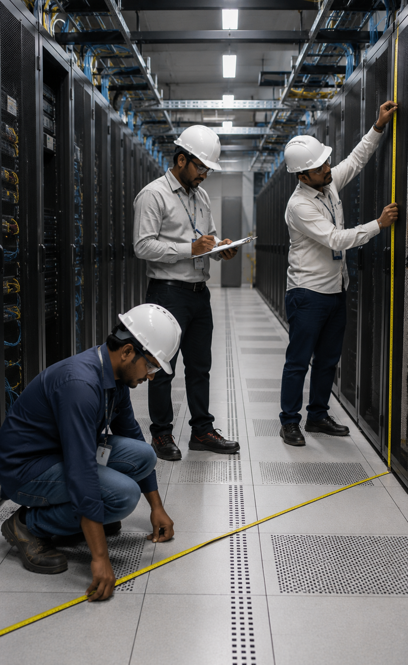
LiDAR captures accurate, complete and reliable data faster and safer than traditional methods.
Our Services

Reality Capture
- Complete Data Center Scanning
- Server Hall Documentation
- Facility Documentation
- Reality Capture
- Laser Scanning Survey
- Industrial Asset Capture
- Digital Twin Creation
- As-Build Documentation
- Scan-to-BIM
- Point Cloud Processing

Scan-to-BIM
- LOD 200 BIM
- LOD 300 BIM
- LOD 350 BIM
- LOD 400 BIM
- Autodesk Revit Models
- Architecture BIM
- Structural BIM
- MEP BIM
- Electrical BIM
- Mechanical BIM
- Cable Tray BIM
- Utility BIM
- Facility BIM
- Digital Twin
MEP Documentation
- HVAC Systems
- CRAC Units
- CRAH Units
- UPS Rooms
- Battery Rooms
- Electrical Rooms
- Cable Trays
- Bus Ducts
- Fire Protection
- Chilled Water Systems
- Mechanical Rooms
- Generator Rooms
- Utility Routing

Retrofit Engineering
- Facility Expansion
- Retrofit Documentation
- Capacity Planning
- Equipment Replacement
- Shutdown Planning
- MEP Coordination
- Clash Detection
- Construction Planning
- Brownfield Engineering
Digital Twin
- Digital Asset Management
- Facility Management
- Sapce Planning
- Maintenance Planning
- Lifecycle Documentation
- Asset Register
- Reality Capture Database
- Digital Operations
Scan-to-CAD
- AutoCAD Documentation
- Equipment CAD Models
- Rack Layout Drawings
- Mechanical CAD
- Electrical CAD
- General Arrangement Drawings
- Section Drawings
- Fabrication Drawings
- Asset Documentation
Applications


Scan-to-BIM Workflow

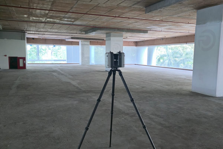
Project Planning & Site Assessment
We understand project scope, deliverables, and site conditions to create a tailored scan plan.

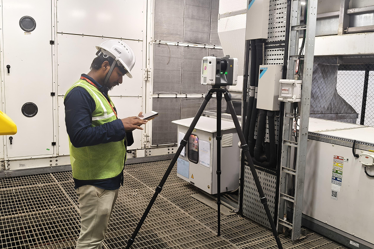
LeicaRTC360/FARO Focus Scanning
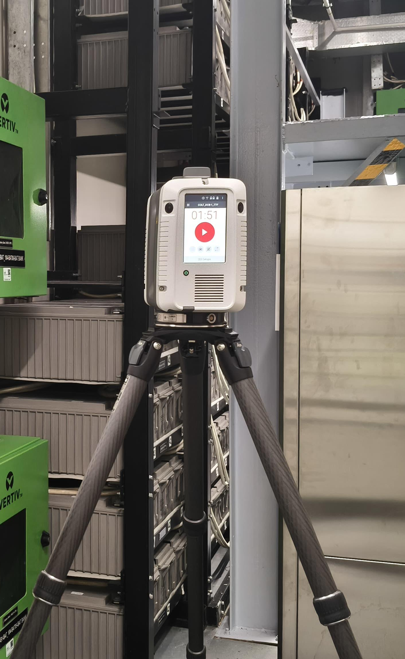
High-accuracy laser scanning capturing millions of data points with precision and speed.

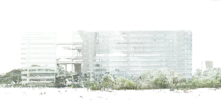
Point Cloud Registration
Multiple scan positions are aligned into a single, accurate, and geo-referenced point cloud.

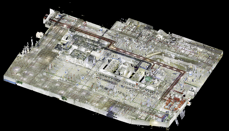
Noise Cleaning & Filtering
Unwanted noise, outliers, and irrelevant data are removed to ensure clean and accurate data.

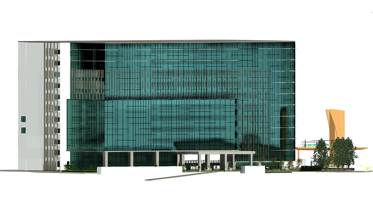
BIM Modelling (Revit)
Accurate BIM models are created in Revit using industry standards and best practices.

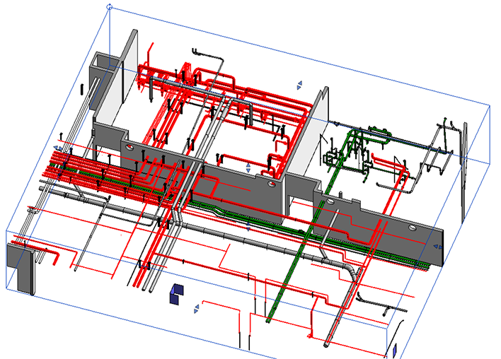
LOD Development & Validation
Models are developed to required LOD (100, 200, 300, 400, 500) and validated for accuracy.

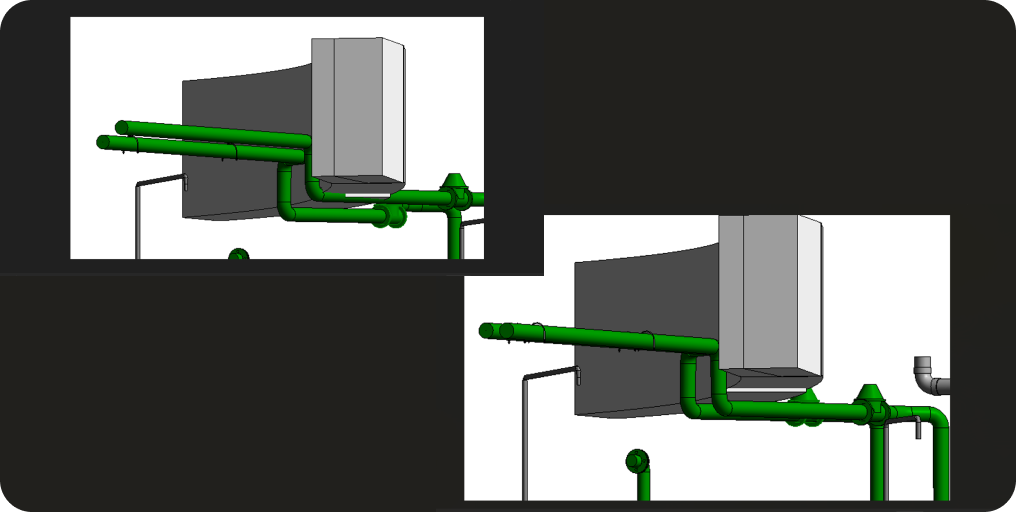
QA / QC
Rigorous quality checks ensure accuracy, consistency, and compliance with client standards.

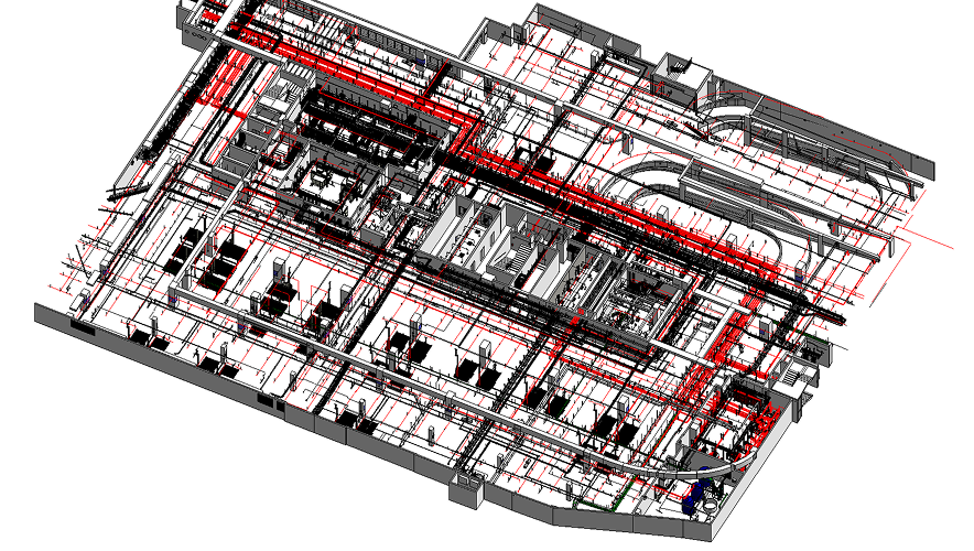
Engineering Deliverables & Documentation
Plans, sections, elevations, BOQs, and coordinated deliverables are prepared.

Final Deliverables
Coordinated BIM models and drawings are delivered in required formats, on time, every time.

Global Delivery
Serving clients across the world with secure data transfer.

Data Security
Your data is safe with us through encrypted transfer.

Experienced Team
Skilled BIM engineers with years of complex projects.

On-Time Delivery
We follow a structured workflow to deliver on time.
Deliverables
 Registered Point Clouds (RCP / RCS)
 Autodesk Revit Models
 IFC Models
 NWC / NWD Coordination Models
 AutoCAD Drawings
 MEP BIM Models
 Rack Layout Models
 Cable Tray Models
 Digital Twin
 Clash Detection Reports
 Asset Register
 COBie Database
 As-Built Documentation
 Schedules & Quantities
 Engineering Reports
Equipment We Use
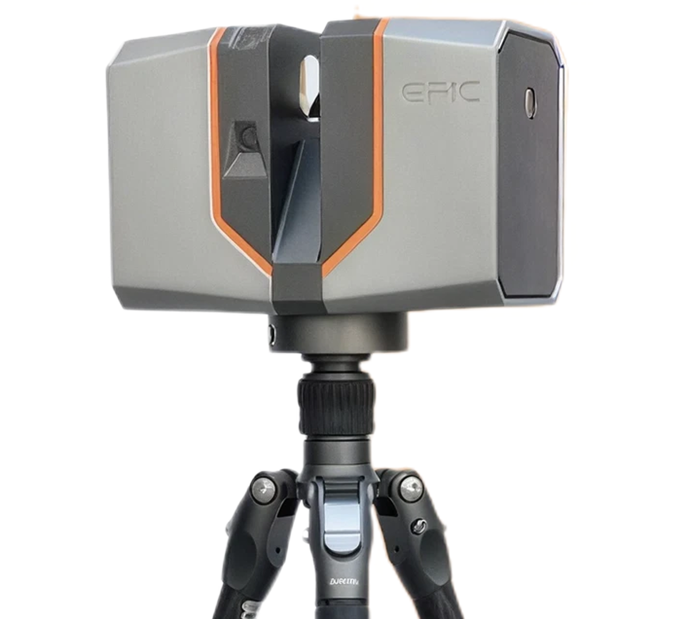
EPIC T150
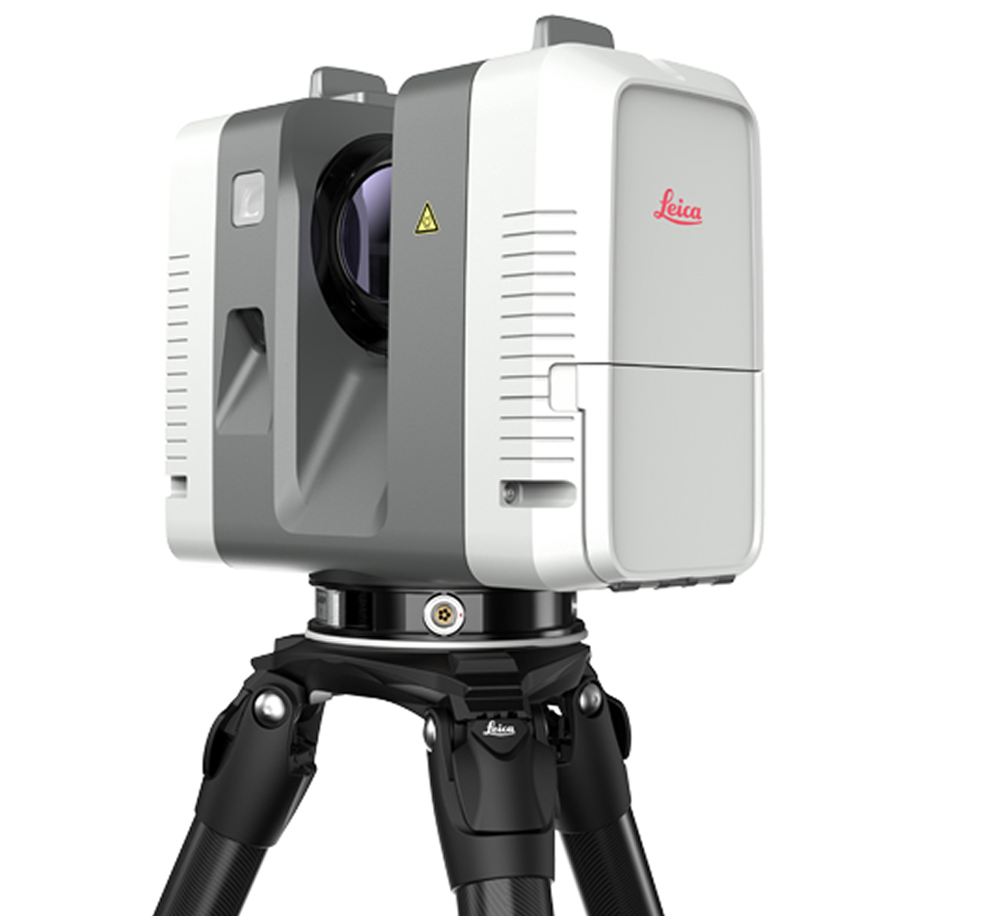
LEICA RTC360
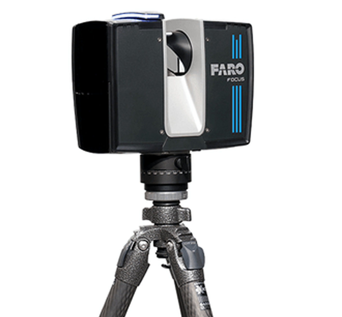
FARO FOCUS SERIES
Software We Use
AUTODESK
REVIT
AUTODESK
RECAP
NAVIS
WORKS
AUTODESK
AUTOCAD
BENTLEY
OPENBUILDINGS
BIM
COLLABORATE
PRO
Key Benefits



Effective

Decisions
Documentation
Ready

Management
Data Centers We Scan & Model
Professional 3D Laser Scanning, Reality Capture & BIM Modeling Services
Data Center Types We Scan
- Hyperscale Data Centers
- Enterprise Data Centers
- AI & GPU Data Centers
- Colocation Facilities
- Government Data
- Centers
- Telecom Data Centers
- Cloud Infrastructure
- Edge Data Centers
- Banking & Financial Data
- Centers
- Healthcare Data Centers
- Mission Critical Facilities
- Disaster Recovery Sites
Featured Data Center Projects
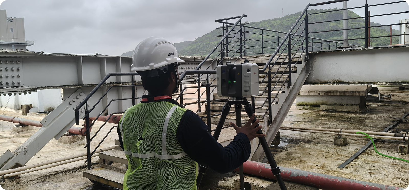
Hyperscale Data Center Scan-to-BIM
 Chennai
 Area Scanned:
1.2M sq.ft
Area Scanned:
1.2M sq.ft
 LOD: 300
- 3D Laser Scanning
- Scan-to-BIM (Revit)
- Clash Detection
- MEP Documentation
- Digital Twin Ready
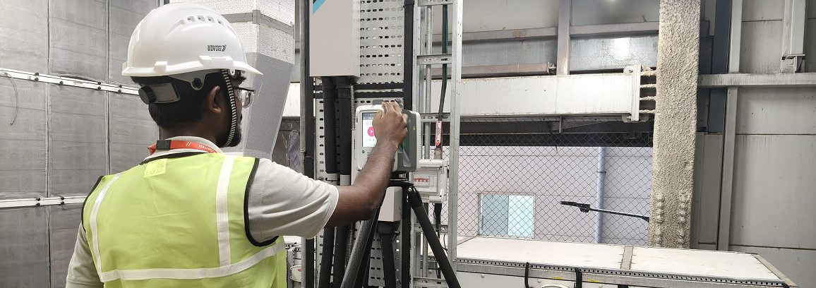
Colocation Facility Documentation
Bangalore,
India
430,000
sq.ft
LOD 350
Enterprise Data Center Digital Twin
Singapore
210,000
sq.ft
LOD 400
Telecom Data Center Retrofit Engineering
Dubai, UAE
180,000
sq.ft
LOD 300
What We Deliver
Conditions BIM

Documentation

Engineering

Model
Ready to Digitize Your Data Center?
accuracy and transform it into an intelligent BIM model and Digital Twin.