
EPiC T150
High Precision Terrestrial
Laser Scanner
Lightweight. Accurate. Intelligent. Redefining reality
capture for professionals.
Now Available in
 India
India
 UK
UK
EPiC T150 in Action
Explore performance, feature & real- world applications
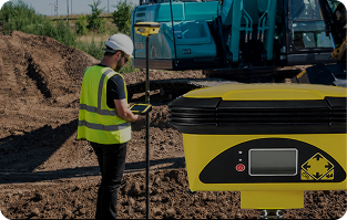
EPiC T150 - Overview
Introduction & key highlights
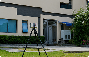
Live Scanning Demo
See T150 in real environments
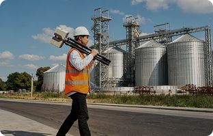
HDR Imaging in Action
See T150 in real environments
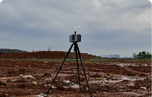
Long Range Performance
Accuracy at extended distances
EPiC T150 - Overview
Introduction & key highlights
Live Scanning Demo
See T150 in real environments
HDR Imaging in Action
See T150 in real environments
Long Range Performance
Accuracy at extended distances
Engineered for Accuracy. Built for the Real World.
T150 combines advanced sensors, intelligent algorithms and rugged design to deliver
unmatched performance in any environment
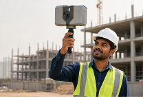
3.3kg
Ultra Light weight
60% lighter for true one person operation

150m Range
Capture More in Less time.
2mm Accuracy @ 50m
High precision results you can rely on

1.2 MHz PRR
High Speed scanning for maximum efficiency
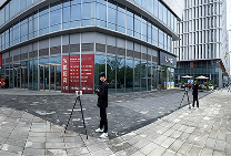
GNSS & IMU
Absolute positioning & stable data anywhere
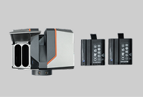
Hot Swap Battery
1 Hour per battery external Power support
EPiC T150- Key Features
Innovative technologies engineered for high precision, efficiency and reliability
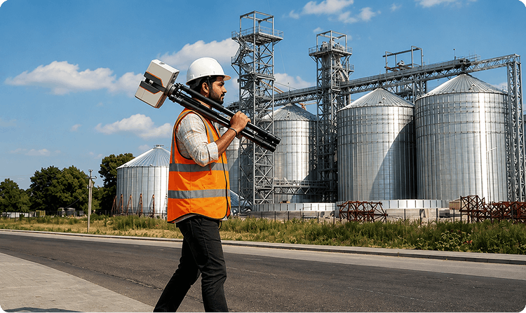
Lightweight & Compact Design
Weighing only 3.3kg, the T150 is easy to carry and operate by a single person.
Reduce workload and improves field mobility across challenging terrains

Ultra-light Design

Operation

Anywhere

Environment
Lightweight design enables faster deployment and greater productivity in the field
Key Features

Lightweight & Compact Design
3.3kg ultra-light body for easy
one-person operation
Multi-Sensor Integration
IMU, GNSS, Tilt, Temp sensors
ensure precise & reliable data

HDR Camera (100MP)
3X/5X HDR For true to life colors
in all lighting conditions
GNSS Positioning system
Multi Constellation RTK for Fast &
accurate geo referencing
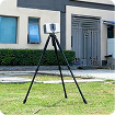
Tilt Sensor
Real time Compensation for stable
and accurate scan
Lightweight & Compact Design
3.3kg ultra-light body for easy
one-person operation
Multi-Sensor Integration
IMU, GNSS, Tilt, Temp sensors
ensure precise & reliable data
HDR Camera (100MP)
3X/5X HDR For true to life colors
in all lighting conditions
GNSS Positioning system
Multi Constellation RTK for Fast &
accurate geo referencing
Tilt Sensor
Real time Compensation for stable
and accurate scan
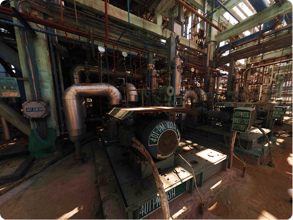
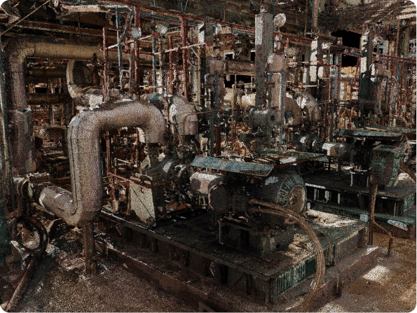
From As-Built to Accurate Digital Data
Captured with EPiC T150 LIDAR Scanner
Software that supports EPiC LiDAR scan output

Geomagic
Design X

Autodesk
ReCap

AutoCAD

Plant 3D

Revit

Bentley
OpenPlant

AVEVA
E3D
Geomagic
Control X

PolyWorks
Inspector

Navis
works
Epic T150 3D Scan and post-process workflow
From Site Scanning to Registered Point Cloud for Downstream Engineering Applications
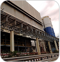
3D Laser Scanning
Capture accurate real-world data
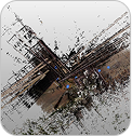
Scan Data Import
Import raw scan data securely
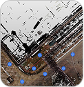
Point Cloud Registration
Align & register multiple scans accurately

Clean & Optimized Point Cloud
Process, clean and optimize for high accuracy
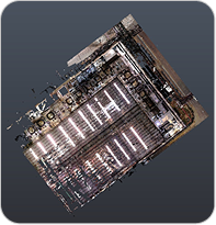
Point Cloud
Industry-Standard Formats

Measurement & QA/QC
Accurate distance, area, thickness & GD&T analysis

Volume & Stockpile Calculation
Compute volumes, cut /fill analysis & reports

BIM Modeling (Scan to BIM)
Convert point cloud into intelligent BIM models

Digital Twin Creation
Build interactive digital twins for simulation & monitoring

Factory CAD/Plant Modeling
Create accurate CAD models for plants & equipment
Other Applications
Facility management, renovation planning, retrofit, clash detection.
LiDAR 3D Scan Based Applications & Use Cases
Explore how LiDAR point cloud data delivers real-world value across industries
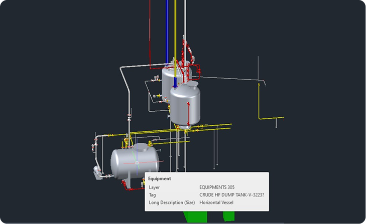
Factory Digital Twin
LIDAR scanning captures every detail of your plant and surroundings to create an
accurate digital twin. Visualize, analyze and manage your operations efficiently in a
virtual environment

as-built data

visualization

making

operations
Lightweight design enables faster deployment and greater productivity in the field
Key Features
Factory Digital Twin
Create interactive digital twins for
visualization, planning & operations.
Scan To BIM
Convert pont cloud data into
inteligent BIM models.
Scan to CAD
Generate accurate 2D/3D CAD
Drawings from LiDAR data
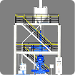
Asset Management
Track manage & maintain assets
with precise spatial data
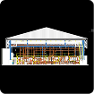
Facility Management
Optimize space, maintenance &
operrations with accurate data.
Factory Digital Twin
Create interactive digital twins for
visualization, planning & operations.
Scan To BIM
Convert pont cloud data into
inteligent BIM models.
Scan to CAD
Generate accurate 2D/3D CAD
Drawings from LiDAR data
Asset Management
Track manage & maintain assets
with precise spatial data
Facility Management
Optimize space, maintenance &
operrations with accurate data.
WHY CHOOSE
WildplantTS?

Official Partner
of EPiC in India

Nationwide
Demonstrations

Factory Trained
Engineers

Installation
& Training
AMC
& Calibration Support
Rental Solutions
Available
Professional
Scanning Services

AMC &
Calibration Support

Rental Solutions
Available
Case Studies
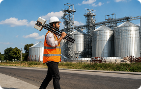
Large Manufacturing Plant
- 350+ Scan Positions
- 2.1 Billion Points Captured
- Scan to BIM Delivered
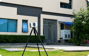
Power Plant Project
- Rapid Shutdown Documentation
- 1.8 Billion Points Captured
- Digital Twin Created
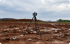
Metro Rail Project
- 10+ km Corridor Scanned
- Accurate As-built Models
- BIM & Clash Detection
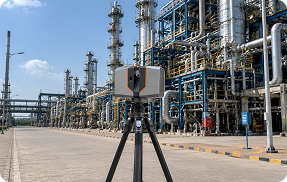
Large Manufacturing Plant
- 350+ Scan Positions
- 2.1 Billion Points Captured
- Scan to BIM Delivered
Industries & Applications
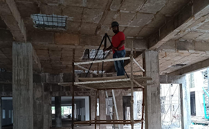
CONSTRUCTION & BIM
As-built documentation, clash
detection, progress monitoring.
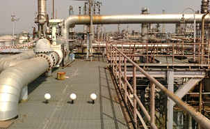
OIL & GAS PLANTS
Plant digitization, maintenance
planning, shutdown projects.
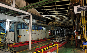
MANUFACTURING &
AUTOMOTIVE
Factory layouts, digital twins, reverse
engineering support.
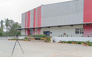
INFRASTRUCTURE &
BRIDGES
Roads, bridges, railways, airports,
metro projects.
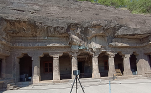
HERITAGE DOCUMENTATION
Temples, forts, palaces, museums,
cultural preservation.
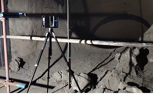
MINING & QUARRY
Stockpile analysis, terrain modeling,
site monitoring.
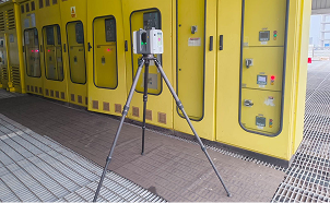
FACILITY MANAGEMENT
Building maintenance and asset
management.

ARCHITECTURE &
SURVEYING
Existing conditions, renovation
planning, site analysis.
Frequently Asked Questions
1. What is Tank 3D Scanning?
A LiDAR (Light Detection and Ranging) Laser Scanner is a precision instrument that uses laser light to measure distances. It sends out thousands of laser pulses per second, measures how long they take to bounce back, and uses that data to create highly accurate 3D representations of physical environments.
2. How accurate is LiDAR scanning?
LiDAR scanning provides millimeter-level accuracy, ensuring that all dimensions, clearances, and structural details are captured precisely for reliable engineering analysis and retrofitting design.
3. Can you scan large tanks?
Yes, our high-precision terrestrial laser scanners have extensive range capabilities allowing them to capture massive storage tanks effortlessly, ensuring complete coverage with high point density.
4. Why hire a professional team?
A professional team brings domain expertise, certified scanning equipment, and rigorous QA/QC processes. This ensures safety compliance on site and guarantees that the point cloud data provided is accurately georeferenced and ready for integration.
5. Can you create CAD models?
Absolutely. We specialize in post-processing precision point cloud data into intelligent 2D/3D CAD and BIM models tailored explicitly to your project specifications and engineering constraints.