
OVERVIEW
FOREST TERRESTRIAL 3D SCANNING
Most laser surveying companies limit themselves to measurement extraction and scanning. MEP and BIM modelling companies don't have expertise in live laser 3D scanning surveying. We bridge this gap with combined expertise in laser scanning and post-laser scan-based applications. Our team consists of an in-house 3D scanning specialist, a scan to BIM Modeller, MEP design consultants & Architect experts, digital factory layout design engineers, and a business consultant who got excellent knowledge of core digital applications of Building Construction & Architecture.
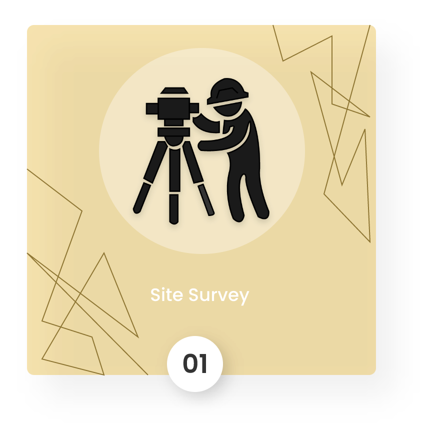
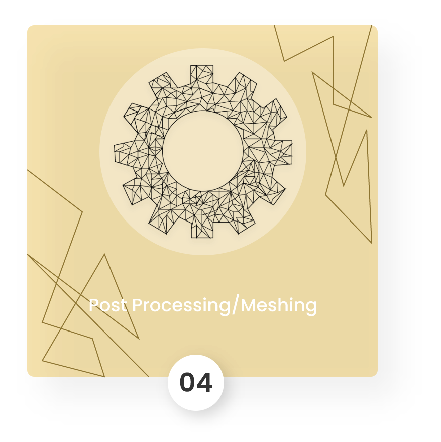
HOW IT WORKS


APPLICATIONS

NDT with Laser scanning

Scan to scan deviation analysis

Scan to BIM deviation analysis

Construction Quality Control

Digital Volume calculation

Digital Factory
OUR BLOGS

20
OCT
Admin 2 Comments
Laser scanning technology and its applications

20
OCT
Admin 2 Comments
Laser scanning technology and its applications

20
OCT
Admin 2 Comments
Laser scanning technology and its applications
20
OCT
Admin 2 Comments
Laser scanning technology and its applications
20
OCT
Admin 2 Comments
Laser scanning technology and its applications
20
OCT
Admin 2 Comments
Laser scanning technology and its applications
FAQ
We use lidar and drones 3d scanning equipment to 3d scan the forest area.
By 3d scanning any forest, you can create a 3d walkthrough your forest in AR & VR , manage your forest assets such as big trees and streams, 3d planning for your resort construction or agriculture development
3d laser scanning applications in forests and trees include digital surveying, Digital volume calculation of caves and mines, and measurements of tree parameters.
Estimation of forest scanning is based on the area and application. We charge 40 to 50k INR or scan a forest.
We can 3D scan one acre of forest land with trees and plants per day, considering 8 hours of nonstop scanning time.